

Big Almaty Lake: How to Visit
Big Almaty Lake is a glacial reservoir sitting at 2,511 metres above sea level, about 15 km south of Almaty, and you reach it by road through the Ile-Alatau mountains with your passport in hand. Plan for a half-day trip, carry identification for the checkpoint, and do not expect to swim, because the lake supplies the city's drinking water and the shoreline is fenced.
This guide walks through why the lake draws photographers, how to get there under current access rules, the best viewpoints, the seasons that turn the water its deepest blue, and whether to book a guide or go on your own.
Why Big Almaty Lake is a photographer's favorite
The appeal is the color. Fed by glacial meltwater, the lake shifts between turquoise and deep blue depending on the light, the season, and how much sediment the glaciers are carrying. On a still morning the surrounding peaks of the Trans-Ili Alatau range mirror cleanly across the surface, and the water sits in a natural amphitheatre of rock and spruce forest.
Elevation does a lot of the work. At 2,511 metres the air is thin and clear, so distant ridges stay sharp in a frame, and the contrast between the pale water and dark conifers reads strongly even on an overcast day. Golden hour and the blue hour just after sunset are the standout windows.
A few practical notes for shooting here. Mornings tend to be calmer, which helps reflections. Weather at this altitude changes fast, so cloud can roll in within minutes and strip the color out of the scene. Bring layers even in summer. Drone use requires authorization, so do not assume you can fly without checking first.
Getting there and current access rules
Big Almaty Lake sits roughly 15 km south of the city as the crow flies, according to Wikipedia, though the mountain road winds enough that the drive feels much longer. The route climbs the Bolshaya Almatinka valley from the southern edge of Almaty. Here is what to know before you set out.
Carry your passport. There is a checkpoint on the way up, and border guards or police may ask for identification because the valley leads toward the Kyrgyzstan border zone. For the standard lake viewpoint above the dam, you do not need a special border permit, but the moment you plan to hike higher toward the peaks or the observatory, permit requirements can change, so confirm locally or go with a guide who handles it.
Private vehicle access up the valley has become restricted in recent years. In practice that means most independent visitors reach the lake by arranged transport or taxi rather than their own rental car, and road conditions vary by season. Swimming and entering the water are prohibited, and the perimeter near the dam is fenced, so the experience is viewing and photography from the overlook rather than a beach day.
The lake has been part of Almaty's administrative area since it was brought inside the city boundary, and its role as the drinking water supply is the reason access is managed so tightly. Treat the rules as non-negotiable rather than guidelines.
Best viewpoints and the observatory above the lake
The main viewpoint sits above the dam at the northern end of the lake, where the road reaches the water. This is where most photos are taken, and it gives the classic composition of blue water backed by the Trans-Ili Alatau peaks. Walking a short distance along the accessible edge opens up slightly different angles, but remember the shoreline itself is off limits.
Above the lake, the road continues toward the Tien Shan Astronomical Observatory, which sits at 2,735 metres and has been operated by the Fesenkov Astrophysical Institute since the 1940s, as documented on its Wikipedia page. The observatory and the nearby cosmostation are a working research site rather than a standard tourist attraction, and the road up heads toward the border zone, so this stretch is where permit questions and guided transport matter most. The higher ground also delivers the widest views back down over the lake, which is why it appeals to photographers willing to arrange the access.
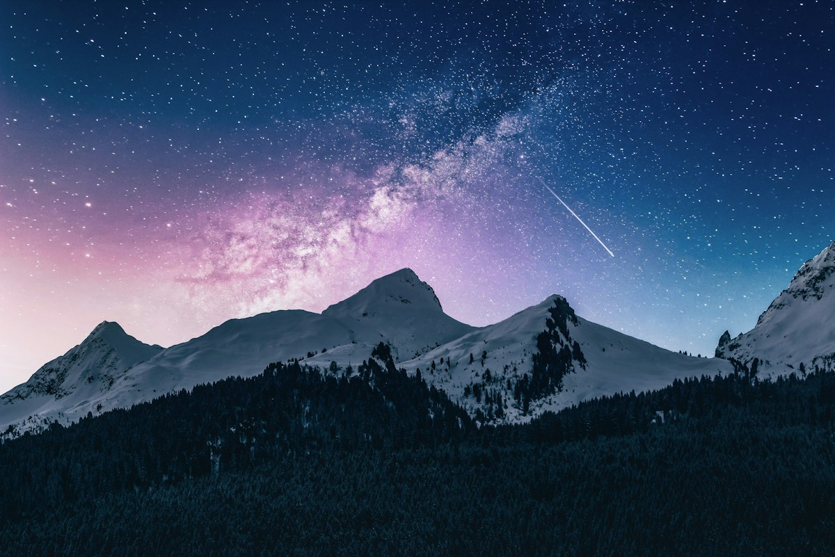
Big Almaty Peak rises beyond the lake and dominates the skyline from the water. You do not need to climb it to enjoy the view, but its bulk is part of what makes the setting so dramatic from the overlook.
Seasonal colors and when the water is bluest
The water is at its most vivid from late spring through early autumn, roughly May to September, when active glacial melt feeds the lake and the surface stays liquid. This is also the window with the most reliable road access, which makes it the practical choice for most visitors.
Autumn adds a second draw. Through September and into October the surrounding slopes turn gold and yellow, framing the blue water with warm color. From late November through April the lake freezes over and the scene changes completely, trading the turquoise for ice and snow, while the road becomes harder and sometimes closed without the right vehicle. Each season photographs well, but they are not interchangeable, so match your visit to the look you want. If you are still mapping out your overall trip timing, our guide to the best time to visit Almaty puts the lake season in the context of the wider region.
One more point on color: the exact shade on any given day depends on sediment load and light, so two visits a week apart can look noticeably different. Calm, bright mornings in high summer tend to produce the deepest blues.
Guided options versus independent visits
With private vehicle access restricted and permit rules shifting the higher you go, the choice between a guided trip and going it alone comes down to how far up the valley you want to travel. For the lake viewpoint alone, an independent visit by arranged taxi or transport is workable in the warmer months, as long as you carry your passport and accept that you are viewing from the overlook.
A guided visit earns its place when you want to go beyond the viewpoint, combine the lake with other mountain sites, or travel in shoulder season when road conditions are less predictable. A guide handles the checkpoint, knows whether higher routes need a permit, and sorts transport on a road that is not always open to private cars. Travelinalmaty runs guided trips to the lake and the surrounding high country, which removes the logistics so you can focus on the scenery. If you want to understand what a guided day typically includes before deciding, read what to expect from Kazakhstan guided tours.
If this is your first mountain outing near Almaty, start with the lake viewpoint on a clear summer morning, book transport that accounts for the access rules, and keep your passport within reach for the checkpoint. That single trip is enough to see why the lake is the image so many travellers leave Almaty with.
Frequently asked questions
Do I need a permit to visit Big Almaty Lake?
No special permit is needed for the standard lake viewpoint, but you must carry your passport for the checkpoint. Hiking higher toward the peaks or the observatory can require a border zone permit.
Can you swim in Big Almaty Lake?
No. Swimming and entering the water are prohibited because the lake is Almaty's main source of drinking water, and the shoreline is fenced.
How far is Big Almaty Lake from Almaty?
The lake lies roughly 15 km south of central Almaty as measured by Wikipedia, though the winding mountain road makes the drive feel considerably longer.
When is the best time to visit Big Almaty Lake?
Late spring through early autumn gives the bluest water and the most reliable road access. Winter brings a frozen lake and tougher driving conditions.